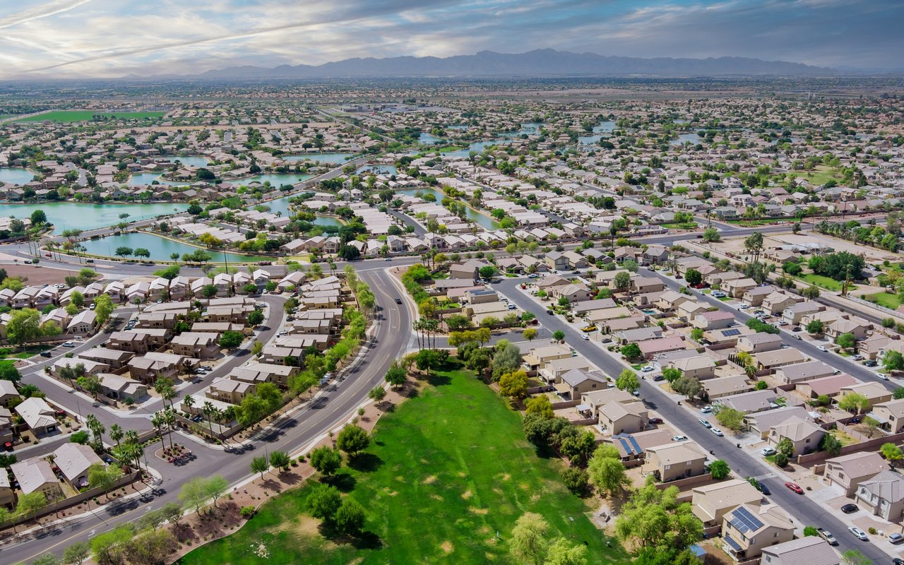
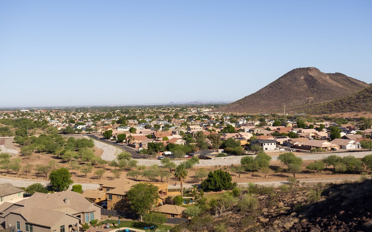
An incorporated City in Maricopa County, in the Phoenix West Valley, roughly 15 miles west of downtown Phoenix via Interstate 10, which crosses the northern part of the city. William "Billy" G. Moore settled near the Agua Fria River in 1880 and initially called the settlement "Coldwater," operating the Coldwater Stage Station to supply travelers between Tucson and northern Arizona/California.
The name "Avondale" comes from the Avondale Ranch, where a post office bearing that name was established in 1896 near the ranch. Western Avenue, today's Old Town/downtown corridor, was the commercial spine that spurred growth toward incorporation.
Avondale incorporated as a Town on December 16, 1946, and attained City status in 1959. It is a legally incorporated City with a council-manager form of government (a mayor plus council).
Population figures by date (Avondale has grown rapidly):
Land area is approximately 47.28 square miles (2020 Census figure; a 2010 Census figure of 45.60 sq mi and a secondary-source figure of 47.87 sq mi also exist, with a minor discrepancy).
Avondale borders Goodyear to the west, Litchfield Park to the north, and Phoenix and Tolleson to the east.
Verified as real, located within Avondale:
Excluded/unverified: "Garrett Park" could not be verified as an Avondale neighborhood name. "Friendship Village" is a senior-living community located in Tempe, AZ — not to be confused with Avondale's actual Friendship Park (see Parks and Recreation).
Full calendar-year data, refreshed once a year. Source link
Avondale | Altos report: Avondale, AZ (citywide)
Metric | Value |
|---|---|
Population | 8,168 (1980) → 35,883 (2000) → 76,238 (2010) → 89,334 (2020) → 100,983 (July 2025 est.) |
Median Home Price | [ ] |
Median Days on Market | [ ] |
Active Listings | [ ] |
Year-over-Year Price Change | [ ] |
Price per Square Foot | [ ] |
Community Parks: Alamar Park, Festival Fields Park, Friendship Park (12325 W McDowell Rd)
Neighborhood Parks: Dennis DeConcini Park, Donnie Hale Park, Las Ligas Park, Fred Campbell Park, Mountain View Park, Civic Center Park
Plazas: Park Avenue Plaza, Dessie Lorenz Plaza, Doc Rhodes Plaza, A.B. Sernas Plaza
Other: Goodyear Farms Historic Cemetery (1917)
Sun Circle Trail — a regional multi-use hiking/biking trail with a segment running through Avondale; part of a shared West Valley trail system, not exclusive to the city.
Important correction — The Wigwam golf resort and golf club is located in Litchfield Park, not Avondale, despite occasional confusion with the unrelated Wigwam Country Estates/Wigwam Mobile Home Park residential area that is genuinely within Avondale.
Is Phoenix Raceway actually located in Avondale? Yes. Despite being commonly called simply "Phoenix," Phoenix Raceway's physical address (7602 Jimmie Johnson Dr.) confirms it is within Avondale city limits.
Is The Wigwam golf resort located in Avondale? No. The Wigwam golf resort and club is located in Litchfield Park, not Avondale.
What school districts serve Avondale? Avondale is served by multiple districts depending on location, including Avondale Elementary School District, Littleton Elementary School District, Pendergast Elementary School District, Agua Fria Union High School District, and Tolleson Union High School District.
Is any part of Avondale age-restricted (55+)? No verified age-restricted community was found within Avondale city limits. Well-known nearby 55+ communities, such as PebbleCreek, are located in neighboring Goodyear rather than Avondale.
92,477 people live in Avondale, where the median age is 33.4 and the average individual income is $32,917. Data provided by the U.S. Census Bureau.
Total Population
Median Age
Population Density Population Density This is the number of people per square mile in a neighborhood.
Average individual Income
There's plenty to do around Avondale, including shopping, dining, nightlife, parks, and more. Data provided by Walk Score and Yelp.
Explore popular things to do in the area, including Rudy's bbq, Just Ice, and Ytzel’s Creations.
| Name | Category | Distance | Reviews |
Ratings by
Yelp
|
|---|---|---|---|---|
| Dining | 1 miles | 0 reviews | 0/5 stars | |
| Dining | 2.2 miles | 0 reviews | 0/5 stars | |
| Dining | 2.2 miles | 0 reviews | 0/5 stars | |
| Dining | 2.2 miles | 0 reviews | 0/5 stars | |
| Dining · $$ | 2.97 miles | 2 reviews | 1/5 stars | |
| Active | 1.83 miles | 1 review | 5/5 stars | |
| Active | 2.2 miles | 0 reviews | 0/5 stars | |
| Active | 2.65 miles | 1 review | 4/5 stars | |
| Active | 2.84 miles | 0 reviews | 0/5 stars | |
| Beauty | 2.2 miles | 0 reviews | 0/5 stars | |
| Beauty | 2.2 miles | 0 reviews | 0/5 stars | |
| Beauty | 2.2 miles | 0 reviews | 0/5 stars | |
| Beauty | 2.2 miles | 0 reviews | 0/5 stars | |
| Beauty | 2.2 miles | 0 reviews | 0/5 stars | |
| Beauty | 2.2 miles | 0 reviews | 0/5 stars | |
| Beauty | 2.2 miles | 2 reviews | 3/5 stars | |
| Beauty | 2.2 miles | 0 reviews | 0/5 stars | |
| Beauty | 2.2 miles | 0 reviews | 0/5 stars | |
| Beauty | 2.2 miles | 0 reviews | 0/5 stars | |
| Beauty | 2.99 miles | 0 reviews | 0/5 stars | |
| Beauty | 3.18 miles | 0 reviews | 0/5 stars | |
| Beauty | 3.24 miles | 0 reviews | 0/5 stars | |
|
|
||||
|
|
||||
|
|
||||
|
|
||||
|
|
||||
|
|
Avondale has 30,014 households, with an average household size of 3.07. Data provided by the U.S. Census Bureau. Here’s what the people living in Avondale do for work — and how long it takes them to get there. Data provided by the U.S. Census Bureau. 92,477 people call Avondale home. The population density is 1,933 and the largest age group is Data provided by the U.S. Census Bureau.
Total Population
Population Density Population Density This is the number of people per square mile in a neighborhood.
Median Age
Men vs Women
Population by Age Group
0-9 Years
10-17 Years
18-24 Years
25-64 Years
65-74 Years
75+ Years
Education Level
Total Households
Average Household Size
Average individual Income
Households with Children
With Children:
Without Children:
Marital Status
Blue vs White Collar Workers
Blue Collar:
White Collar: