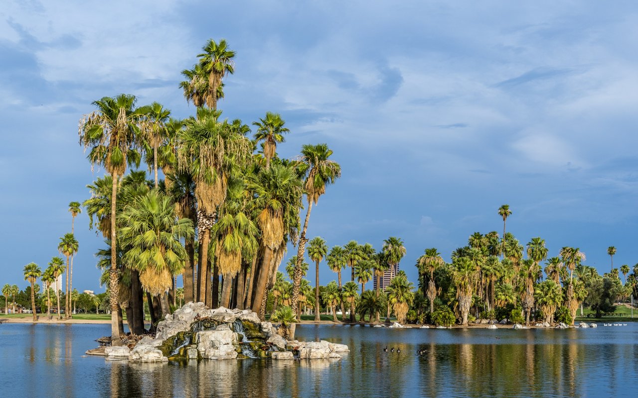
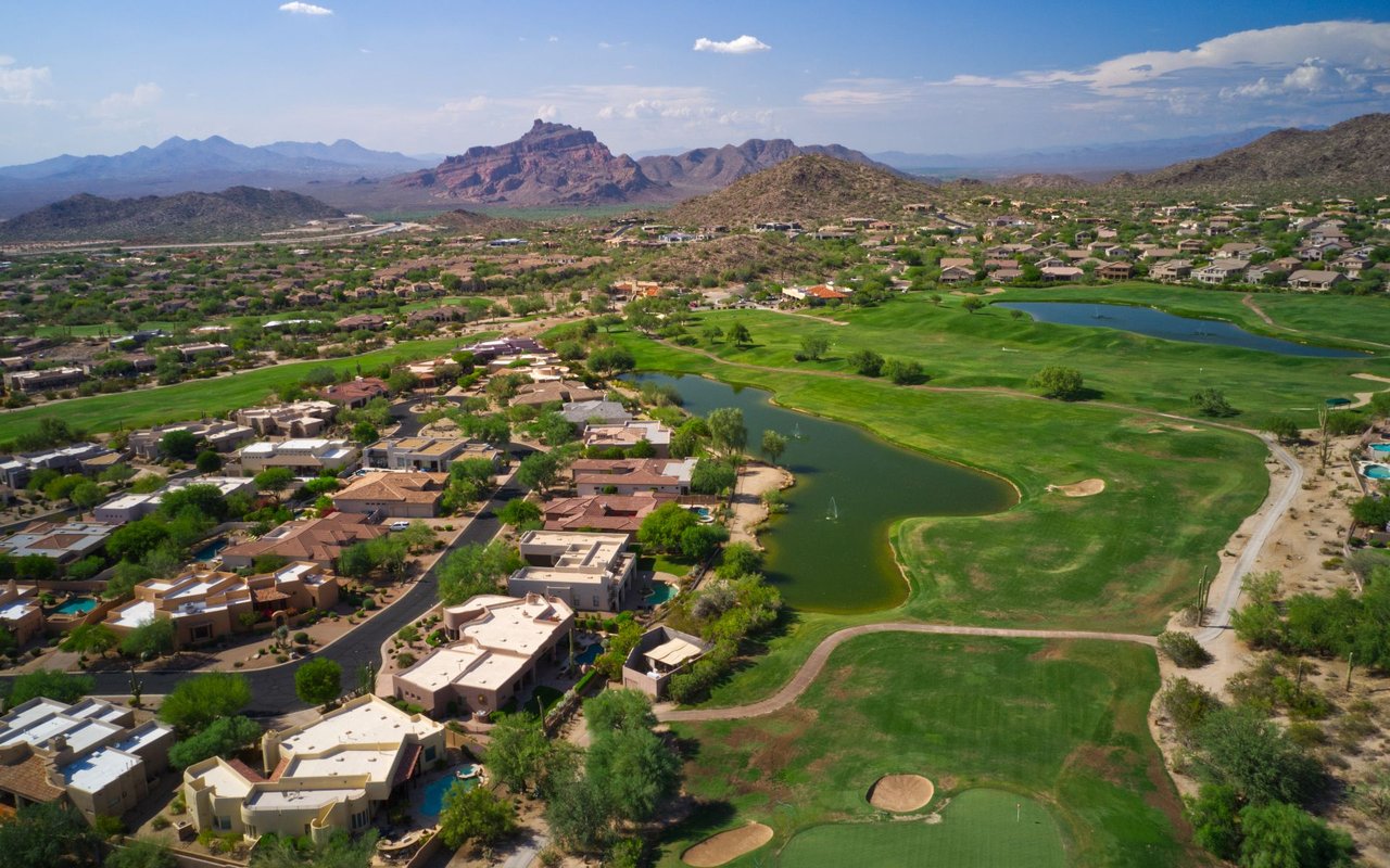
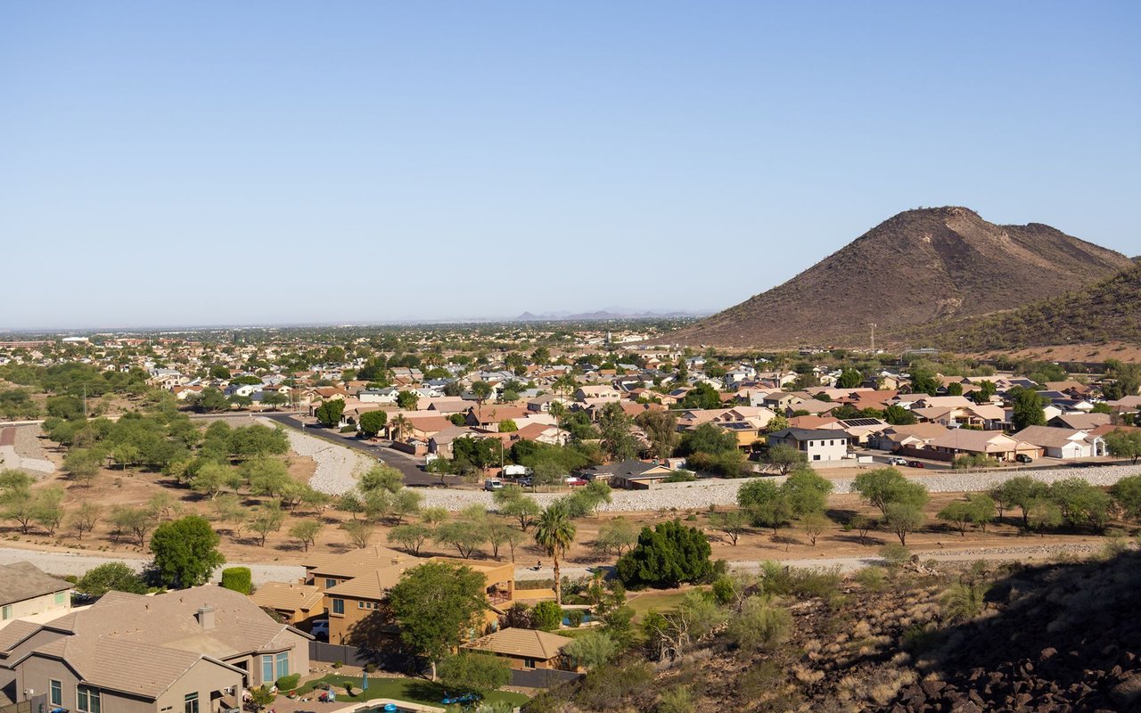
Land for what became Encanto Park was acquired by the City of Phoenix in 1934 — roughly 200 acres purchased from J.W. Dorris and Dr. James C. Norton. New Deal-era construction ran from 1935 through 1937/1938; sources disagree on which federal agency funded and built it — Living New Deal attributes it to the Public Works Administration (PWA), while The Cultural Landscape Foundation attributes it to the Works Progress Administration (WPA). Both are credible institutional sources but conflict — confirm the specific agency via a primary source (such as the NRHP nomination or Phoenix city archives) before publishing. Both sources agree it was a Class-A, New Deal-funded park (Sources: livingnewdeal.org).
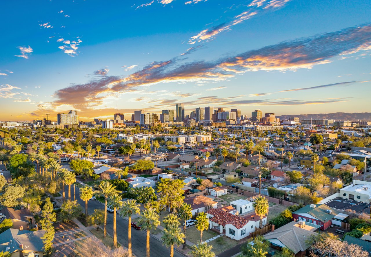
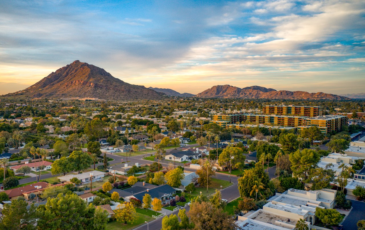
Encanto's surrounding residential area is roughly bounded by 7th Avenue, 15th Avenue, McDowell Road, and Encanto Boulevard/Camelback Road (ZIP 85007/85003).
Housing is predominantly Spanish Colonial Revival, with Mediterranean/Neo-Mediterranean, Pueblo Revival, Monterey Revival, Tudor, and bungalow styles also present, built mainly from 1925 to 1949 (Palmcroft itself was platted in 1927). Current pricing varies sharply depending on the exact boundary a source uses: Redfin lists the Encanto-Palmcroft district's median sale price around $735K, versus roughly $479K for a broader Redfin "Encanto" boundary — these are not the same geography, so confirm which boundary applies before quoting a single figure.
No independently documented population figure specific to Encanto was found.
Verified historic districts within/adjacent to Encanto (Source: City of Phoenix Historic Preservation, phoenix.gov):
Excluded: the Willo Historic District is a distinct, separately named district described by its own sources as "on the border of" Encanto, not part of it. The Los Olivos Historic District sits on the opposite (east) side of Central Ave and is geographically unrelated despite name overlap on some listing sites.
Full calendar-year data, refreshed once a year. Source link
Encanto | Altos report: Phoenix, AZ 85003
Metric | Value | Source | Year |
|---|---|---|---|
Median List Price | [ ] | Altos Research | [ ] |
Avg. Price per Sq Ft | [ ] | Altos Research | [ ] |
Avg. Days on Market | [ ] | Altos Research | [ ] |
Inventory | [ ] | Altos Research | [ ] |
Median Rent | [ ] | Altos Research | [ ] |
Population | Not independently documented | — | — |
Geographic and boundary evidence supports the Phoenix Elementary School District #1 and Central High School (Phoenix Union High School District) as serving this area, but no official parcel-level attendance map was found confirming this for the specific 7th–15th Ave/McDowell footprint — treat as likely rather than confirmed, and verify against the districts' official boundary tools before publishing.
Encanto is primarily a residential/park area with a genuinely limited dining footprint — do not imply a dining scene here. The one verifiable restaurant directly on the district's edge is Encanto Tavern (N. 15th Ave., 85007; two conflicting street numbers appear in directories — confirm the exact address before publishing). Inside Encanto Park, Enchanted Island Amusement Park offers snack/arcade-style concessions, not a full restaurant. No other restaurants within the district's boundaries could be verified as currently operating.
All confirmed recurring events are run by the privately operated Enchanted Island Amusement Park, not the City parks department:
No City-of-Phoenix-run annual festival specifically tied to Encanto Park was found. A "Christmas at Enchanted Island" event is referenced but no confirmed date was found — excluded pending verification.
Encanto Park (2605 N. 15th Ave.) — a 222-acre City of Phoenix park:
What is Encanto? Encanto is a historic Phoenix district centered on Encanto Park, a 222-acre New Deal-era city park whose land was acquired in 1934.
What is the median list price of homes in Encanto? [Pending local market data]
How long do homes typically stay on the market in Encanto? [Pending local market data]
What school district serves Encanto? Encanto is likely served by the Phoenix Elementary School District #1 and Central High School (Phoenix Union High School District); confirm exact attendance boundaries before publishing.
What historic districts make up the Encanto area? Encanto includes four documented historic districts: Encanto-Palmcroft, North Encanto, Encanto Manor, and Encanto Vista.
1,274 people live in Encanto, where the median age is 41 and the average individual income is $23,031. Data provided by the U.S. Census Bureau.
Total Population
Median Age
Population Density Population Density This is the number of people per square mile in a neighborhood.
Average individual Income
There's plenty to do around Encanto, including shopping, dining, nightlife, parks, and more. Data provided by Walk Score and Yelp.
Explore popular things to do in the area, including Jarillo’s Tepache y Tejuino, Mi Sazon Sinaloense, and Casita Del Mar.
| Name | Category | Distance | Reviews |
Ratings by
Yelp
|
|---|---|---|---|---|
| Dining | 0.35 miles | 0 reviews | 0/5 stars | |
| Dining | 0.56 miles | 0 reviews | 0/5 stars | |
| Dining | 0.62 miles | 0 reviews | 0/5 stars | |
| Dining | 0.62 miles | 0 reviews | 0/5 stars | |
| Dining | 0.66 miles | 0 reviews | 0/5 stars | |
| Dining | 0.79 miles | 0 reviews | 0/5 stars | |
| Dining | 0.92 miles | 0 reviews | 0/5 stars | |
| Dining | 1.03 miles | 0 reviews | 0/5 stars | |
| Dining | 1.12 miles | 0 reviews | 0/5 stars | |
| Dining | 1.3 miles | 0 reviews | 0/5 stars | |
| Shopping | 0.65 miles | 0 reviews | 0/5 stars | |
| Shopping | 0.94 miles | 0 reviews | 0/5 stars | |
| Shopping | 1.42 miles | 0 reviews | 0/5 stars | |
| Shopping | 1.43 miles | 0 reviews | 0/5 stars | |
| Active | 1.4 miles | 0 reviews | 0/5 stars | |
| Active | 1.45 miles | 0 reviews | 0/5 stars | |
| Beauty | 0.8 miles | 4 reviews | 3.8/5 stars | |
| Beauty | 0.82 miles | 6 reviews | 4.7/5 stars | |
| Beauty | 0.92 miles | 2 reviews | 3/5 stars | |
| Beauty | 0.92 miles | 5 reviews | 4.2/5 stars | |
| Beauty | 0.92 miles | 3 reviews | 3.7/5 stars | |
| Beauty | 1.29 miles | 0 reviews | 0/5 stars | |
| Beauty | 1.44 miles | 0 reviews | 0/5 stars | |
| Beauty | 1.46 miles | 1 review | 1/5 stars | |
|
|
||||
|
|
||||
|
|
||||
|
|
||||
|
|
||||
|
|
Encanto has 352 households, with an average household size of 3. Data provided by the U.S. Census Bureau. Here’s what the people living in Encanto do for work — and how long it takes them to get there. Data provided by the U.S. Census Bureau. 1,274 people call Encanto home. The population density is 29,866 and the largest age group is Data provided by the U.S. Census Bureau.
Total Population
Population Density Population Density This is the number of people per square mile in a neighborhood.
Median Age
Men vs Women
Population by Age Group
0-9 Years
10-17 Years
18-24 Years
25-64 Years
65-74 Years
75+ Years
Education Level
Total Households
Average Household Size
Average individual Income
Households with Children
With Children:
Without Children:
Marital Status
Blue vs White Collar Workers
Blue Collar:
White Collar: