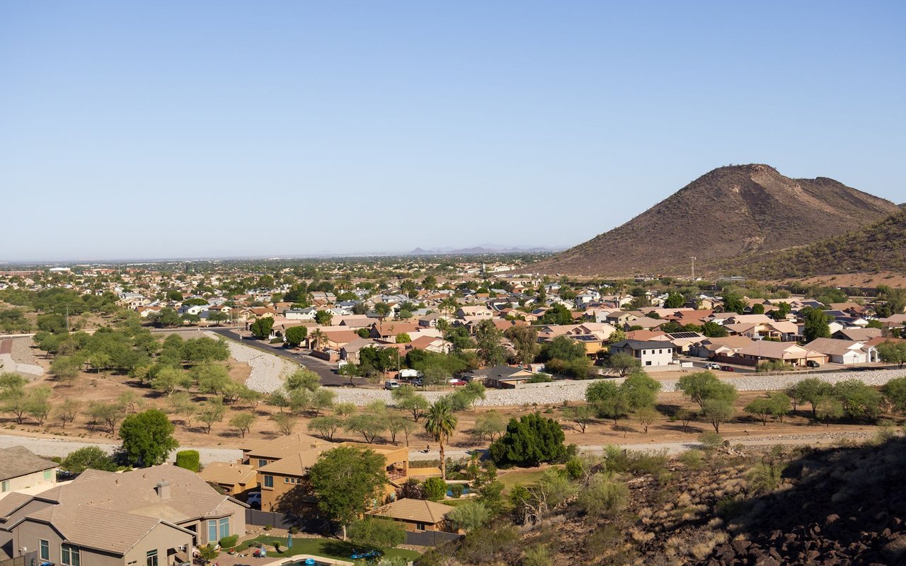
A small incorporated City in Maricopa County, in the Phoenix West Valley, roughly 19 miles west of downtown Phoenix. It is bordered by Avondale to the southeast, Goodyear to the west/south, and Glendale to the north.
In 1916, Goodyear Tire & Rubber Company executive Paul Weeks Litchfield came to the Salt River Valley to secure land for long-staple cotton production, needed to supply tire cord during World War I — the same figure associated with the founding of Goodyear, AZ. He established Litchfield Ranch as headquarters for Goodyear's Southwest Cotton Company (later "Goodyear Farms"), eventually acquiring roughly 16,000 acres, and also built a winter estate there called "Rancho La Loma." The company town was officially named "Litchfield Park" in 1926 in his honor. What is now The Wigwam resort began in 1918 as the "Organization House," built as guest lodging for Goodyear executives, before reopening to the public on Thanksgiving Day 1929.
Litchfield Park incorporated as a City in 1987, at 3.3 square miles.
Population figures by date (Litchfield Park is much smaller and slower-growing than its West Valley neighbors):
Land area is approximately 3.28–3.31 square miles.
Verified as physically within Litchfield Park city limits:
Excluded/corrected:
Full calendar-year data, refreshed once a year. Source link
Litchfield Park | Altos report: Litchfield Park, AZ
Metric | Value |
|---|---|
Population | 5,476 (2010) → 6,847 (2020) → 6,727 (July 2025 est.) |
Median Home Price | [ ] |
Median Days on Market | [ ] |
Active Listings | [ ] |
Year-over-Year Price Change | [ ] |
Price per Square Foot | [ ] |
Named schools include Litchfield Elementary School, physically located in Litchfield Park. Two other schools associated with the district — Western Sky Middle School and Millennium High School — serve Litchfield Park students but are reported by most independent sources as having physical addresses in Goodyear, AZ, so they should not be stated as physically located within Litchfield Park without further verification.
Additional events with unconfirmed timing: Litchfield Park Gathering, Touch-A-Truck, and Litchfield Park Wellness Fest all appear on the City's official events roster, but a specific month could not be confirmed for this calendar.
Per the City's own official parks list, 11 verified public parks:
Note: Regional attractions such as the White Tank Mountains, Estrella Mountain Regional Park, and Wildlife World Zoo are referenced in the City's own visitor materials but are located nearby, not physically within Litchfield Park.
Is The Wigwam resort located in Litchfield Park? Yes. The Wigwam's address (300 E Wigwam Blvd.) confirms it is physically within Litchfield Park city limits, distinct from the separate "Wigwam Creek" residential subdivision, which sits outside city limits.
Is there a "Blue Horizon Park" in Litchfield Park? No verified park by that name exists in Litchfield Park; this appears to be a confusion with "Blue Horizons," a community and park located in Buckeye, AZ.
Is any part of Litchfield Park age-restricted (55+)? No verified age-restricted community was found within Litchfield Park city limits. Directory listings referencing "55+ communities in Litchfield Park" generally point to communities with physical addresses in neighboring Goodyear, Buckeye, Surprise, or Sun City.
What school districts serve Litchfield Park? The Litchfield Elementary School District (K-8) and the Agua Fria Union High School District (9-12) both serve Litchfield Park.
45,522 people live in Litchfield Park, where the median age is 39 and the average individual income is $46,776. Data provided by the U.S. Census Bureau.
Total Population
Median Age
Population Density Population Density This is the number of people per square mile in a neighborhood.
Average individual Income
There's plenty to do around Litchfield Park, including shopping, dining, nightlife, parks, and more. Data provided by Walk Score and Yelp.
Explore popular things to do in the area, including Burrito Barn, Kona Ice of Tolleson, and Nimbu's Cafe AZ.
| Name | Category | Distance | Reviews |
Ratings by
Yelp
|
|---|---|---|---|---|
| Dining · $$ | 1.1 miles | 44 reviews | 3.9/5 stars | |
| Dining | 2.18 miles | 0 reviews | 0/5 stars | |
| Dining | 2.75 miles | 0 reviews | 0/5 stars | |
|
|
||||
|
|
||||
|
|
||||
|
|
||||
|
|
||||
|
|
Litchfield Park has 14,878 households, with an average household size of 3. Data provided by the U.S. Census Bureau. Here’s what the people living in Litchfield Park do for work — and how long it takes them to get there. Data provided by the U.S. Census Bureau. 45,522 people call Litchfield Park home. The population density is 4,533 and the largest age group is Data provided by the U.S. Census Bureau.
Total Population
Population Density Population Density This is the number of people per square mile in a neighborhood.
Median Age
Men vs Women
Population by Age Group
0-9 Years
10-17 Years
18-24 Years
25-64 Years
65-74 Years
75+ Years
Education Level
Total Households
Average Household Size
Average individual Income
Households with Children
With Children:
Without Children:
Marital Status
Blue vs White Collar Workers
Blue Collar:
White Collar: