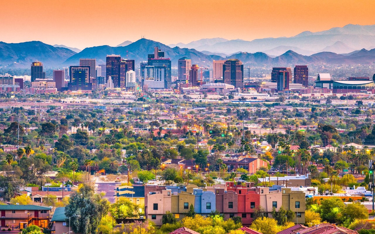
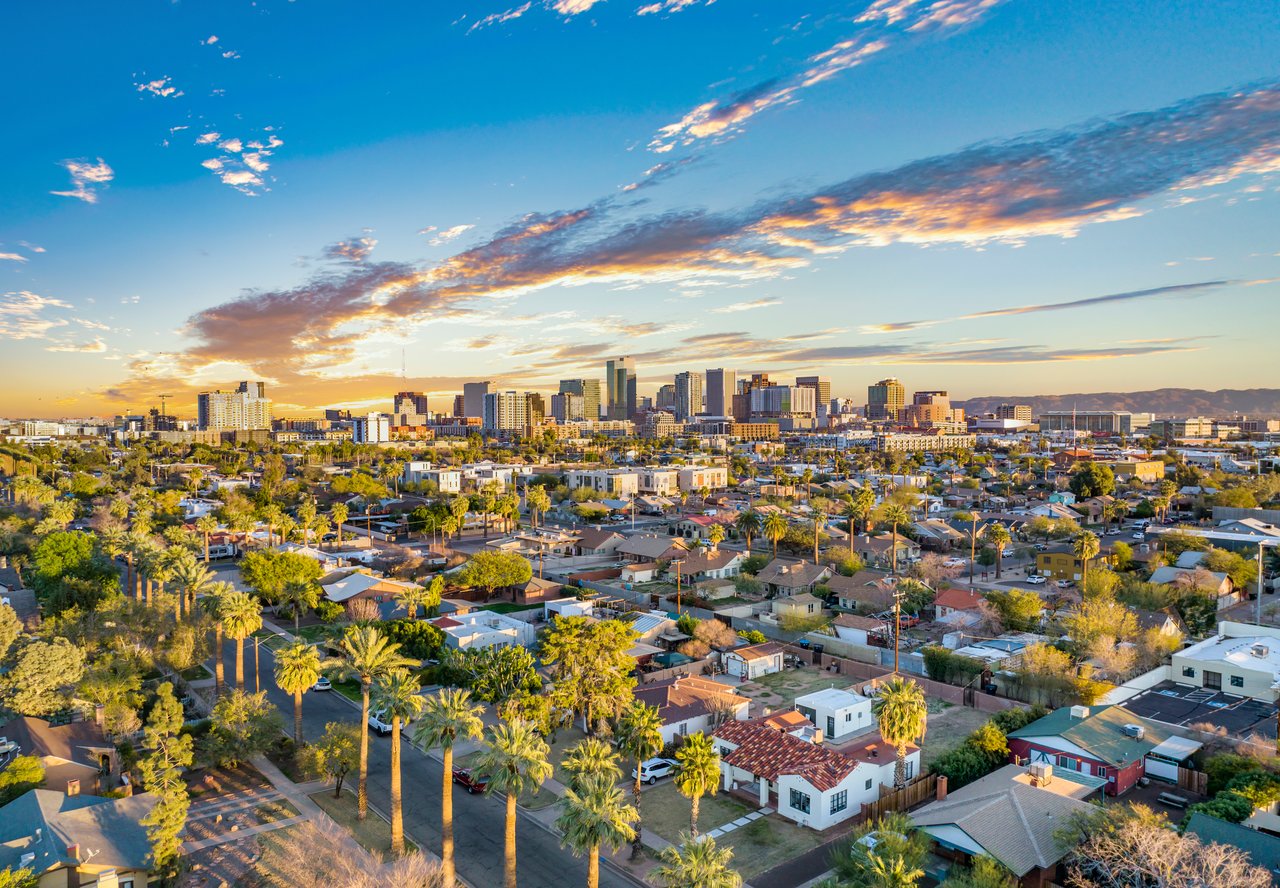
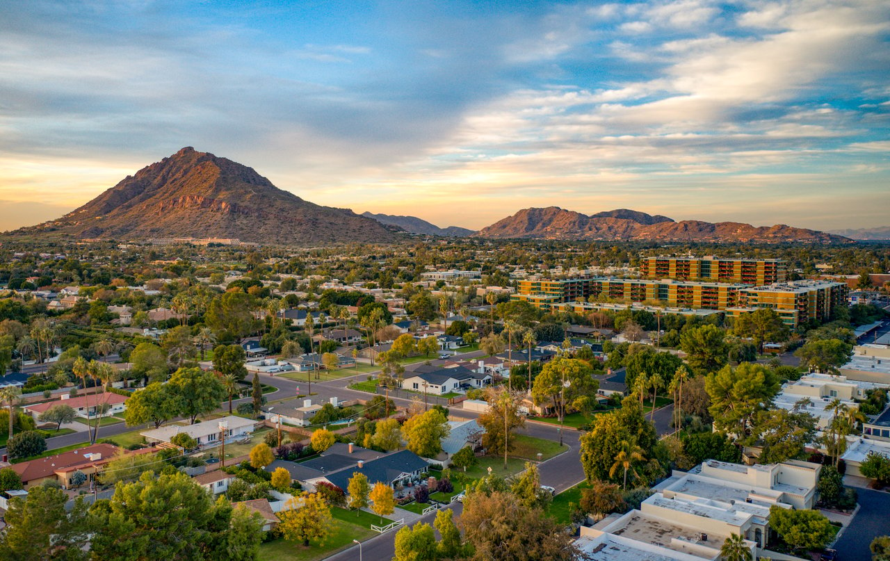
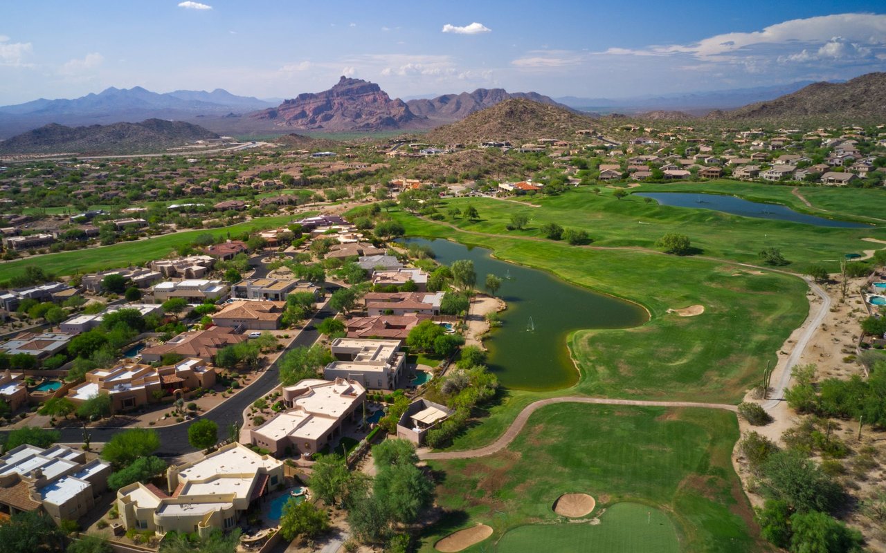
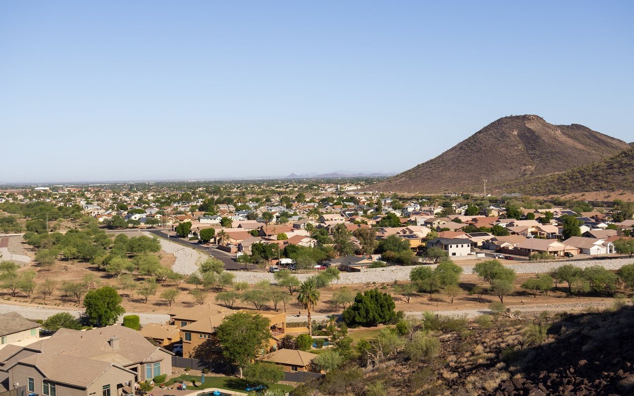
Often called "Uptown Phoenix" at its commercial core, runs along the Central Avenue corridor roughly between Camelback Road/Bethany Home Road and Northern Avenue (ZIP 85012/85013/85014). William J. Murphy platted the "Orangewood" subdivision along Central Ave in 1895, with boundaries closely matching this corridor (Source: HistoricPhoenix.com). Central Avenue was a private "driving street" until it was declared a public highway in 1910 and paved in the 1920s. Large parcels were subdivided between 1911 and 1942 into 5–15-acre tracts, then further subdivided into ranch-home lots built mostly from 1945 through the 1950s. The area was annexed into the City of Phoenix in 1959.
The "North Central Avenue Streetscape Historic District" is listed on the National Register of Historic Places — note this is a roadway/streetscape designation, not a residential subdivision name.
"Uptown Phoenix" refers specifically to the commercial node at Central Avenue and Camelback Road, anchored by Uptown Plaza, a mid-century shopping center that opened in 1955 at the northeast corner of Central and Camelback (Sources: AZ Big Media, Uptown Plaza). No government source formally defines "Uptown Phoenix" as a bounded neighborhood — it functions as a colloquial/commercial label for the Central-and-Camelback node, while "North Central Phoenix" is the broader residential corridor extending north to Northern Avenue.
Housing includes custom homes dating to the early 1900s plus 1945–1950s ranch-style homes on large, subdivided lots. Redfin's "North Central Corridor" data shows a median sale price around $878,000, with sales ranging roughly $235,000 (condo) to $2.6 million (single-family), at roughly $447/sq ft — confirm current figures before publishing.
Verified, documented within/at the corridor's edge (Source: City of Phoenix Historic Preservation, phoenix.gov):
Note: Country Club Manor, Palmcroft/Encanto-Palmcroft, and Los Olivos are real, documented Phoenix historic districts, but sit further south/west in Midtown or Encanto — outside this corridor, and excluded here. "Village Grove Estates" and "Solano Vista" could not be verified as tied to this Phoenix corridor and are excluded.
Full calendar-year data, refreshed once a year. Source link
North Central Phoenix / Uptown | Altos report: Phoenix, AZ 85014
Metric | Value | Source | Year |
|---|---|---|---|
Median List Price | [ ] | Altos Research | [ ] |
Avg. Price per Sq Ft | [ ] | Altos Research | [ ] |
Avg. Days on Market | [ ] | Altos Research | [ ] |
Inventory | [ ] | Altos Research | [ ] |
Median Rent | [ ] | Altos Research | [ ] |
Population | Not independently documented | — | — |
The Madison Elementary School District serves this corridor (boundary described as "7th Avenue to 32nd Street, Northern to Camelback" — Central Ave falls within this range). Central High School (Phoenix Union High School District), 4525 N. Central Ave., draws from partner elementary districts including Madison.
At Uptown Plaza (100 E. Camelback Rd.):
Along the corridor:
Note: Dynamite Beer Co. (100 E. Camelback Rd.) is marked closed on its current listing — exclude or verify directly before publishing.
Uptown Plaza retail — West Elm, Manor (shoes), Road Runner Sports, Urban Eyecare, Sweatshop (fitness studio), Local Nomad, Muse Apparel.
Excluded: the "Central Avenue Jazz Festival" is in Los Angeles, not Phoenix; the Doggie Street Festival is at Steele Indian School Park, outside this corridor's Camelback–Northern boundary; the Melrose Street Fair is on 7th Ave, a different district.
Excluded: Granada Park sits north of Northern Ave., outside this corridor's boundary. Steele Indian School Park and Colter Park lie outside or at the southern edge of the boundary — flag before including.
What is the difference between Uptown Phoenix and North Central Phoenix? "Uptown Phoenix" refers specifically to the commercial node at Central Avenue and Camelback Road, anchored by Uptown Plaza. "North Central Phoenix" is the broader residential corridor along Central Avenue extending north to Northern Avenue.
What is the median list price of homes in North Central Phoenix? [Pending local market data]
How long do homes typically stay on the market in North Central Phoenix? [Pending local market data]
What school district serves North Central Phoenix? The Madison Elementary School District serves this corridor; Central High School (Phoenix Union High School District) serves the area at the secondary level.
What historic districts are part of North Central Phoenix? Documented historic districts along this corridor include Medlock Place, Windsor Square, and Pierson Place.
8,704 people live in North Central Phoenix / Uptown, where the median age is 37.8 and the average individual income is $70,264. Data provided by the U.S. Census Bureau.
Total Population
Median Age
Population Density Population Density This is the number of people per square mile in a neighborhood.
Average individual Income
There's plenty to do around North Central Phoenix / Uptown, including shopping, dining, nightlife, parks, and more. Data provided by Walk Score and Yelp.
Explore popular things to do in the area, including A G K Restaurants, Body Mechanics Massage Therapy, and Heavenly Handz.
| Name | Category | Distance | Reviews |
Ratings by
Yelp
|
|---|---|---|---|---|
| Dining | 0.28 miles | 1 review | 1/5 stars | |
| Beauty | 0.01 miles | 0 reviews | 0/5 stars | |
| Beauty | 0.24 miles | 0 reviews | 0/5 stars | |
| Beauty | 0.54 miles | 0 reviews | 0/5 stars | |
| Beauty | 0.79 miles | 0 reviews | 0/5 stars | |
|
|
||||
|
|
||||
|
|
||||
|
|
||||
|
|
||||
|
|
North Central Phoenix / Uptown has 4,757 households, with an average household size of 1.76. Data provided by the U.S. Census Bureau. Here’s what the people living in North Central Phoenix / Uptown do for work — and how long it takes them to get there. Data provided by the U.S. Census Bureau. 8,704 people call North Central Phoenix / Uptown home. The population density is 3,861 and the largest age group is Data provided by the U.S. Census Bureau.
Total Population
Population Density Population Density This is the number of people per square mile in a neighborhood.
Median Age
Men vs Women
Population by Age Group
0-9 Years
10-17 Years
18-24 Years
25-64 Years
65-74 Years
75+ Years
Education Level
Total Households
Average Household Size
Average individual Income
Households with Children
With Children:
Without Children:
Marital Status
Blue vs White Collar Workers
Blue Collar:
White Collar: